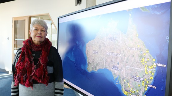


A new online map is documenting the massacres of Indigenous Australians by European colonists in the frontier wars, shedding light on the country’s bloody past.
It took four years for researchers at the University of Newcastle in Australia to compile the map, which provides details on individual sites and massacres.
SEE ALSO: Watch out Google Earth, Apple Maps has a hidden VR-like ‘flyover’ mode
The map also corroborates sources that provide evidence of the massacres, something which researchers say has been the most challenging part of the project.
“The biggest argument in the scholarship of massacre is how do we know it happened?'” Professor Lyndall Ryan from the university’s Centre for the History of Violence said in a statement online. Read more…
More about Australia, Indigenous Culture, Indigenous, Map, and Massacre